

With the RV shade cover project on hold until I can get a building permit, dusting the cobwebs off the Harley became a priority. Since moving to the Tucson area a year ago, the trusty old steed has been just sitting in the garage gathering dust. Time for that to change, as I planned a few days on the road in Eastern Arizona, and Western New Mexico. The weather is starting to change, so time for a ride.

I left the house around 9am, and headed southeast toward Tombstone & Bisbee. Staying off the freeway is always a priority, and as you can see, it was cool enough to wear a jacket. That came off later in the day, as the temps topped out around 80.

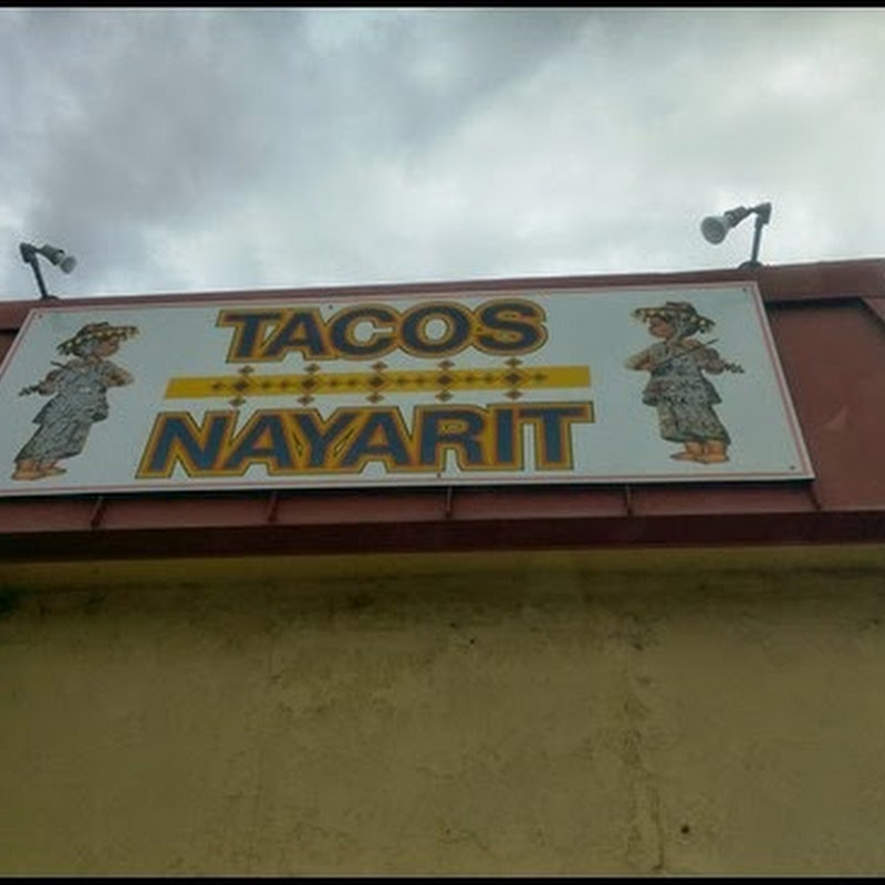
I stopped in Tombstone for a few pictures, like the ones in front of the old city hall, and next to the famous OK Corral.


Bisbee was famous for it's huge open pit copper mine, but the town itself sits in a picturesque, narrow canyon, and has transitioned from a mining town, to a touristy, artsy kind of place. Digging first started in the Lavender Pit around 1917, with mining continuing until 1974. That's a long time to dig a big hole in the ground, and it is indeed very large. The highway passes around one side of the pit, so if you're driving through Bisbee, you won't miss it.


A fuel stop in Douglas, right across from the Mexican town of Agua Prieta, and a shedding of the coat before continuing northeast toward New Mexico. About half way between Douglas and Lordsburg, near the Arizona/New Mexico border, this monument sits out in the middle of nowhere. It's located not far from where Geronimo surrendered, effectively ending the last Indian war.

When I got to I10, it was E/B to Lordsburg for another fuel stop, then it was the dreaded super slab all the way to Las Cruces where I stopped for the night. A Cracker Barrel was conveniently located next door to the motel, so that was the spot for dinner.

I covered about 340 miles, on a picture perfect day for a motorcycle ride. Except for the section of Interstate 10, the back roads of S/E Arizona & S/W New Mexico were just what the doctor ordered. With little, or no traffic, my mind was free to wander as far as the wide open spaces of the southern desert. Today, I think I might make a circle around the White Sands Missile Range, before heading back west toward home. Or, I might head into Texas, or I might go north toward Albuquerque, or......................


You can avoid that i10 slab on Hwy 9. A good road that cuts from North of Douglas near Rodeo East. It hits TX just North of El Paso. Runs just North of the border, But I don't know if I would try it alone on a bike.
ReplyDelete