

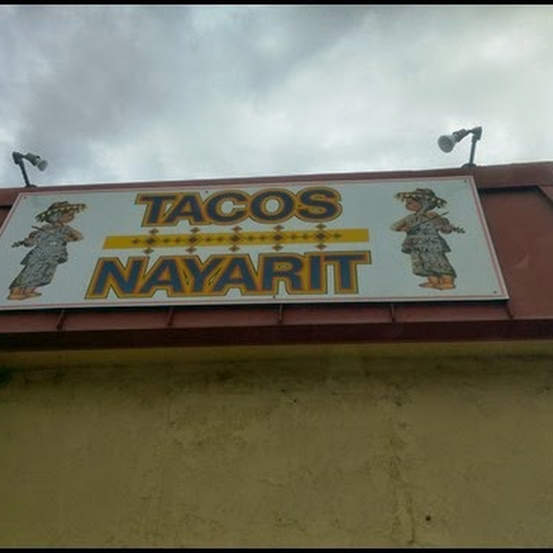
The sign photo goes back a couple of days, when we were stopped temporarily for construction, on the way into LaConner. Patty pointed out the sign, and naturally, I had to document the occasion. This was the day we drove into LaConner, and walked around the downtown area. The building below, was representative of the tourist district, most of which was turn of the century architecture.

Yesterday, was Whidbey Island day. The bridge over Deception Pass, is what makes Whidbey an island, and it's either the largest or 2nd largest island in the lower 48. We spent most of the mid-day exploring some of the areas that we had not seen, like downtown Oak Harbor, the largest city on the island.

This is about the 4th time we have been on Whidbey Island, and not much has changed since we first visited, over 20 years ago. The picture of the ferry as it pulled into the terminal, is adjacent to Fort Casey on the western end of the island. There's a State Park next to where the ferry terminal is located, and we spent a night or two at that State Park in one of our first motor homes. The ferry crosses over to the Olympic Peninsula at Port Townsend, and it brought back memories of our stay here, quite a few years ago.

Fort Casey was one of several military installations, built to guard the Seattle portion of Puget Sound. It was typical of 19th century forts, with large gun batteries as illustrated in the picture above. We didn't stop to tour this particular part of Fort Casey, since we have on prior visits. On our way back to the motor home, we passed the main entrance to Whidbey Island Naval Air Station. Not sure of the exact mission of this Navy facility, but we can hear the jets almost every day from the LaConner Thousand Trails. Yesterday was a beautiful day, with temps in the high 60's, low 70's, but this morning, the rain has returned, and our trip to San Juan Island will most likely be a wet one.


 The sign photo goes back a couple of days, when we were stopped temporarily for construction, on the way into LaConner. Patty pointed out the sign, and naturally, I had to document the occasion. This was the day we drove into LaConner, and walked around the downtown area. The building below, was representative of the tourist district, most of which was turn of the century architecture.
 Yesterday, was Whidbey Island day. The bridge over Deception Pass, is what makes Whidbey an island, and it's either the largest or 2nd largest island in the lower 48. We spent most of the mid-day exploring some of the areas that we had not seen, like downtown Oak Harbor, the largest city on the island.
 This is about the 4th time we have been on Whidbey Island, and not much has changed since we first visited, over 20 years ago. The picture of the ferry as it pulled into the terminal, is adjacent to Fort Casey on the western end of the island. There's a State Park next to where the ferry terminal is located, and we spent a night or two at that State Park in one of our first motor homes. The ferry crosses over to the Olympic Peninsula at Port Townsend, and it brought back memories of our stay here, quite a few years ago.
 Fort Casey was one of several military installations, built to guard the Seattle portion of Puget Sound. It was typical of 19th century forts, with large gun batteries as illustrated in the picture above. We didn't stop to tour this particular part of Fort Casey, since we have on prior visits. On our way back to the motor home, we passed the main entrance to Whidbey Island Naval Air Station. Not sure of the exact mission of this Navy facility, but we can hear the jets almost every day from the LaConner Thousand Trails. Yesterday was a beautiful day, with temps in the high 60's, low 70's, but this morning, the rain has returned, and our trip to San Juan Island will most likely be a wet one.


No comments:
Post a Comment